
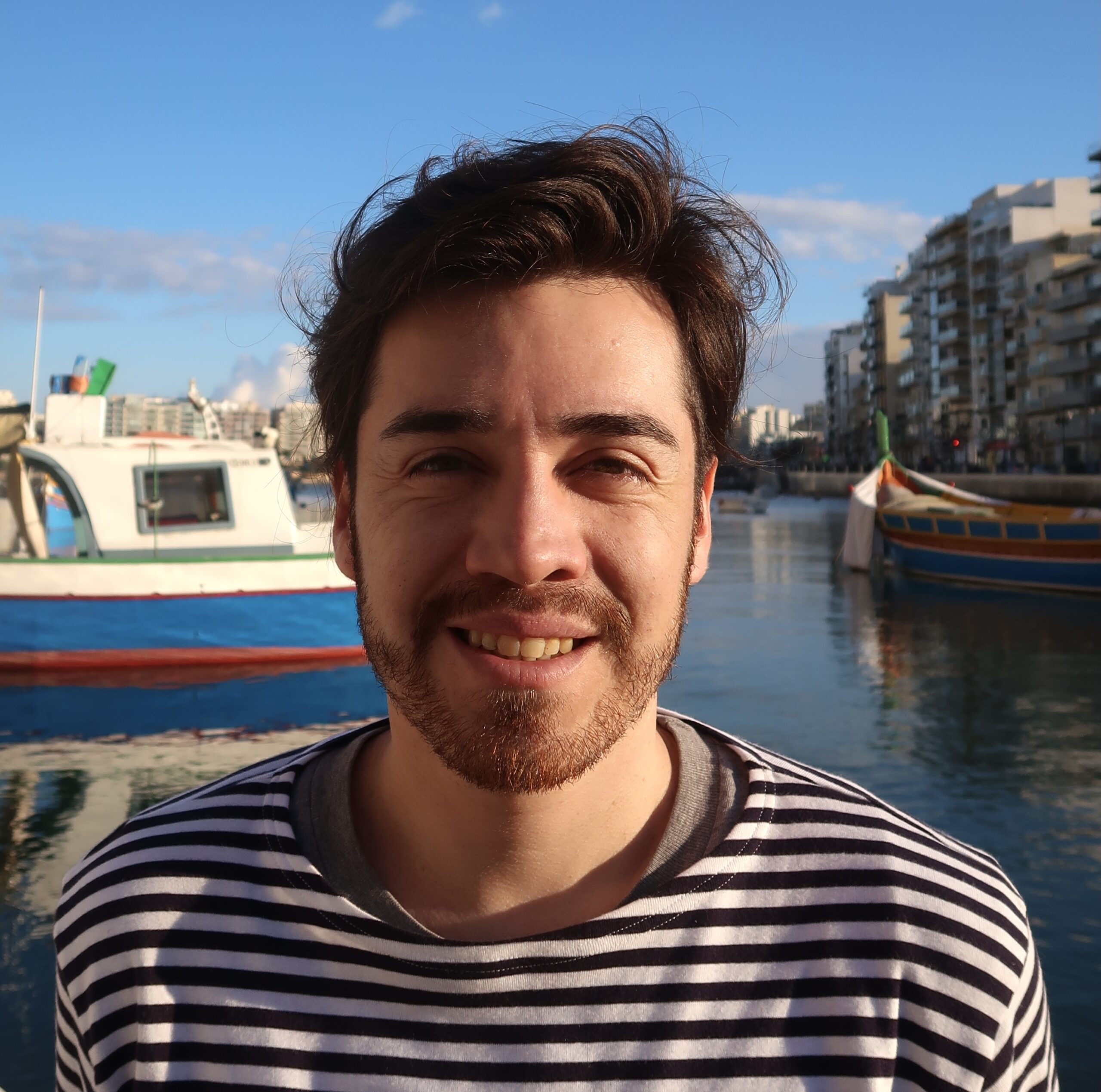
About me
I’m Gabriel, a Geospatial Data Science Master’s student passionate about working with organisations that want to make effective use of their data. I take interest in interdiscplinary projects in order to answer complex questions. Also, I’m highly motivated to work with AI algorithms to carry out more accurate and efficient analyses of geospatial data.
I’ve been working with spatial data for over 2 years. I’ve enjoyed very much working with non-existent data mainly because I get the feeling I’m creating something new. Particularly, I did so, in the sociological field, by conducting survey data and, in the environmental field, by processing satellite images.
I’m skilled in SQL, Remote Sensing and GIS software. The tools I use are mostly:
Services
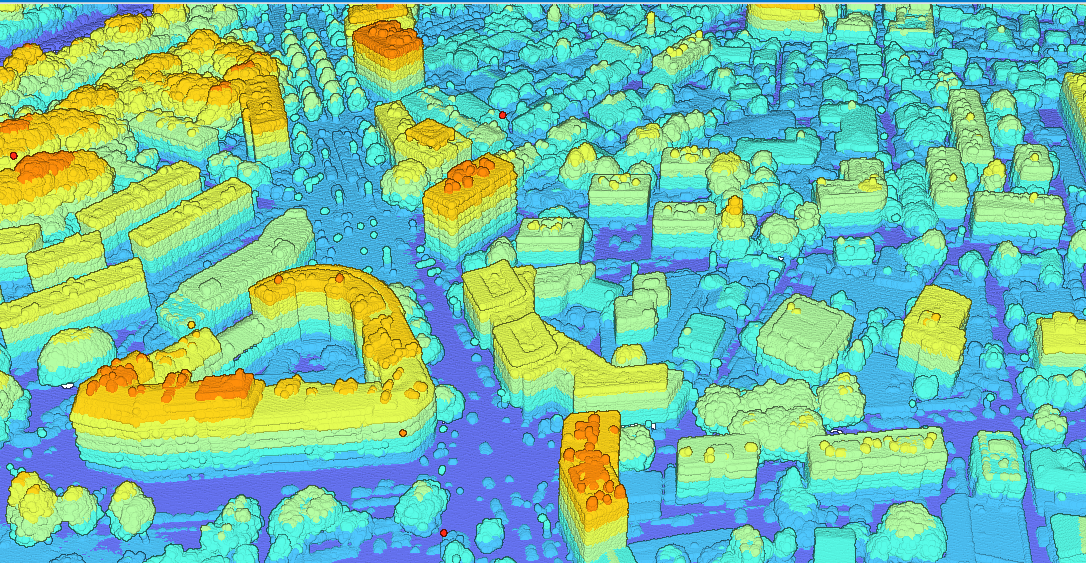
Remote Sensing
Predict and model the impacts on land-use change.
Data Management
Data collection, data storage and data cleaning.
Spatial Data Analysis
Data processing by using statistical methods in order to find relevant information.
DataViz
Visual representations of geospatial data by using cartographic techniques to support visual analytics.
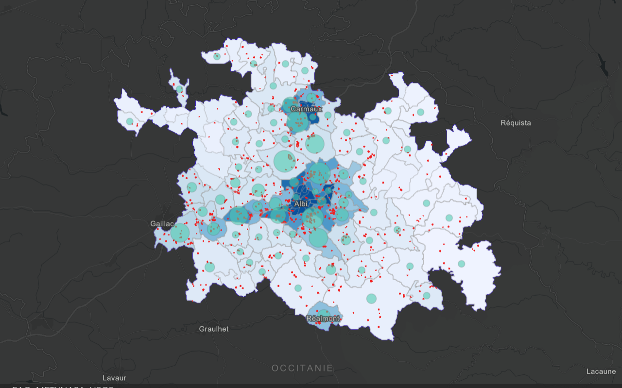
My portfolio at a glance
- All
- Cartography
- Python
- Remote Sensing
- Statistics
- SQL